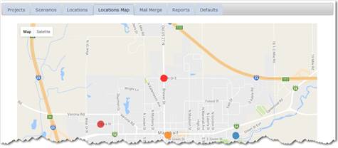
The location map utilizes the street address for each location entered. The street addresses are converted to longitude and latitude and displayed on the map, color-coded by type of building or location.
NOTE: the map location data is cached periodically and not immediately available in the map. Therefore new buildings will not be visible in the map until the data is recached by Munetrix.